PROJ Y Casting
  PROJ Y WOF
  Lunar Bikepacking
  Prospectus
  The Dead Reckoning Book
  starter pack
  Bikepacking 101
  Dead Reck is Dead
  Introduction
  Day 01
  Day 02
  Introduction
  Day 01
  Day 02
  Day 03
  Introduction
  Day 01
  Day 02
  Day 03
  Day 04
  Day 05
  Day 06
  Introduction
  Day 01
  Day 02
  Day 03
  Day 04
  Introduction
  Day 01
  Day 02
  Day 03
  Introduction
  Day 01
  Day 02
  Day 03
  Introduction
  Day 00
  Day 01
  Day 02
  Day 03
  Day 04
  Instagram Symposium
  Introduction
  Day 00
  Day 01
  Day 02
  Day 03
  Day 04
  Day 05
  Day 06
  Day 07
  Introduction
  Day 00
  Days 01-02
  Day 03
  Day 04
  Day 05
  Day 06
  Days 07-08
  Day 09
  Lord Nerd Beta
  Base Camp: Motel on Carroll, Dunedin
  Day 01: Dunedin to Danseys Inn
  Day 02: Danseys Pass to Ida Railway Hut
  Day 03: Ida Railway Hut to Omarama Pass
  Day 04: Omarama to Huxley Forks
  Day 05: Huxely Forks to Brodrick Pass
  Day 06: Brodrick Pass to Wanaka
  Lord Nerd Beta
  Preface
  Day 01: Charazani to Hichocollo
  Day 02: Hichocollo to Pelechuco
  Day 03: Pelechuco to Mountainside Bivouac #1
  Day 04: Mountainside Bivouac #1 to Hilo Hilo
  Day 05: Hilo Hilo to Mountainside Bivouac #2
  Day 06: Mountainside Bivouac #2 to Curva
  Outro
Outro  Lord Nerd Beta
  Day 01: Oasis to Bishop
  Day 02: Bishop to North Lake
  Day 03: North Lake to Piute Pass and Back to Piute Lake
  Day 04: Piute Lake to Bishop
  Day 05: Mono Hot Springs
  Lord Nerd Beta
  Day 00: The Approach
  Day 01: Tyax Lodge to Iron Pass
  Day 02: Iron Pass to Graveyard Valley
  Day 03: Graveyard Valley to Trigger Lake
  Day 04: Trigger Lake to Tyax Lodge
  Flooded with Feeling
  Wilderness
  Mike Cherney on Black Bears
  Rope Swing
  Slash Piles
  Nylon
Nylon  Conversations with a Black Bear
  US Route 93
  Turnagain Mud Flats
  Bushwhacking in British Columbia
  Men’s Penury
  Bob Dittler et. al.
  Bushwhacking in the MSOJ
  Mike Cherney’s Knife
  Hideout, UT
  Hoover Dam
  Shoe Tree
  Destruction
  The Siskiyou Mountain Club
  Coral Pink Sand Dunes State Park
  EN 417 – Normes Européennes 417 – The Lindal Valve
  Wolf Satellite
  Itchy and Scratchy
  Tanoak Dust
  Lake Havasu
  Knife Fighting
  The Comfort Inn Covenant
  The Wrong/Right Way To Experience Montauk
  Ohiopyle Falls
  Allosaurus via Lean-to
  Lyle Ruterbories, Glacier National Park Ranger
  Water Interface Experimentation (WIE)
  OSOs & UOSOs e.g., Mt. Oberlin
  Louisiana Custom Cars
  Archaeologizing, Pt. II
  Archaeologizing, Pt. I
  Mather Point
  Sarah Plummer Lemmon & Matt Hall
  Kangaroo Lake and Fran
  Minor Religions of the Mt. Shasta Region
  The Fist Bump
  The Ideal Shelter
  Headwaters of the Sacramento River
  Buckle Bunnies
  DFKWA: Baldface Creek - Part I
  Mule Deer Radio Collaring
  The Disappearance of Everett Ruess
  Dall Sheep Kebabs
  The Ideal Woodsman Knife
  DFKWA: Rough and Ready Creek - Part I
  Rowdy Water
  Killing a Mountain Caribou
  Boredom, Slingshots, and Prairie Dogs
  We Would Like to Visit
  Black Bear Ranch
  Origins
  The Heart of the Klamath
  Skid Town Bicycles
  Low Stress Management
  CLUB MACHO
  Club Macho Ep. 01
  Club Macho Ep. 02
  Club Macho Ep. 03
  Cumberland Permanent
  Iron Goat Permanent
  Natchez Trace Permanent
  Trail of Tears Permanent
  (Dis)Enchanted Rock Permanent
  MSOJ Permanent
  Shorty Peak Lookout
  Deer Ridge Lookout
  Arid Peak Lookout
  Flag Point Lookout
  Umpqua Hot Springs
  Cougar Hot Springs
  Bagby Hot Springs
  Goldbug Hot Springs
  Ft. Bridger Rendezvous
  Corndoggin’ Castle Lake
  Kangaroo Lake
  The Narrows
  Matthews Creek
  Introduction

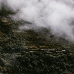
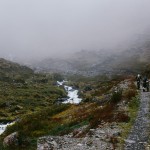
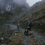
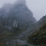
Sunchuli Pass: Day Three
SECTION No1
A Crossroads in the Clouds The Inevitability of Wrong Turns
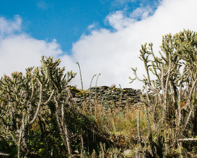
This is a situation that I am sure you have faced yourself, it is a common element to many adventures, excursions, and family road trips. The wrong turn. This is a plot device that has motivated the action of drama, adventure, and horror stories since time forgotten. Ancient Greeks, Sumerians and Mesopotamians were not immune to the wrong turn, and neither were the likes of Clark W. Griswald or Bugs Bunny and the infamous Albuquerque. Whether appearing as historical fact or contemporary fiction, the wrong turn plays a crucial role, its consequences opening up so many unexpected possibilities for folly and a redemption. It would have been unthinkable for our crew to think that our Bolivian excursion would be immune from such a formidable and entrenched narrative device. There was no precedent for our trip, our maps were more than 40 years old, and it quickly became apparent that since they had been drawn many new roads and paths had been constructed. There was maybe a tacit acceptance in the group of an outside possibility that we would, at some point, follow an incorrect path or choose the wrong direction, but the consequences of such a mistake had extremely high potential for disaster—as in true disaster, as in emotional, physical, and mortal disaster—that we chose to not take it seriously, choosing to instead to rely on luck, less than accurate maps, and the scattered bits of trash on the side of the road to help guide us to the town of Curva, our end point.
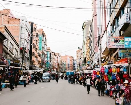
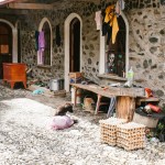
It is important to note that trash is omnipresent in Bolivia.”- KVH;The country is one of the poorest in the western hemisphere and lacks many of the modern conveniences that you and I take for granted, trash removal being one of them. In the small campamentos of the Altiplano and the Cordillera Apolobambas refuse is omnipresent, scattered like mundane confetti. The idea of “pack out what you pack in” that has been ingrained into our outdoor psyche since childhood is also dependent on a plurality of luxuries that make up our culture, luxuries that have yet to affect the lives of your average Bolivian. To have the energy and the time to pack out your trash is a luxury of convenience, of surplus energy, of public services, and of health. This is not a condemnation, simply an observation worth noting because trash, throughout our adventure, would act as a type of breadcrumb trail. Once out of town wrappers and bottles littered the side of the roads and trails; the higher the frequency of travel the higher the frequency of litter. This was the flotsam and jetsam of travelers past.
ADDITIONAL SUPPORT PROVIDED BY SRAM
SRAM
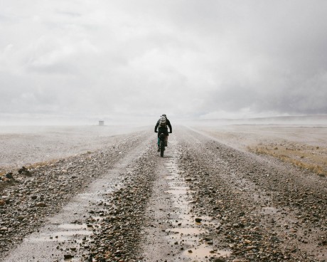
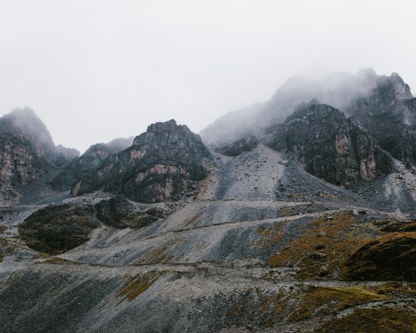
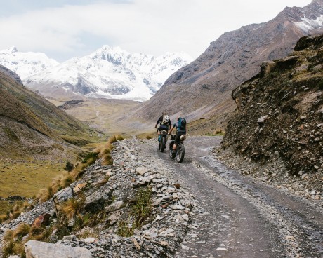
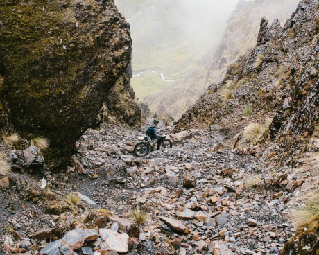
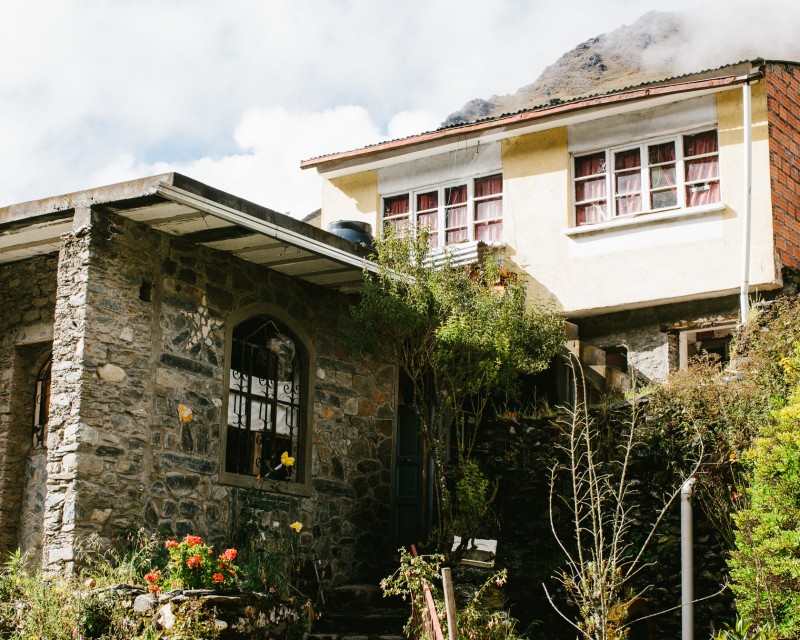
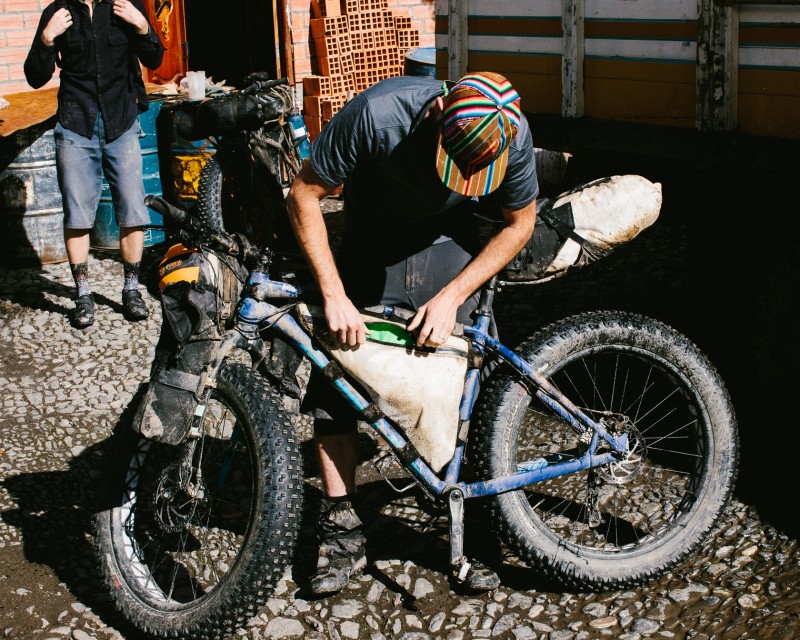
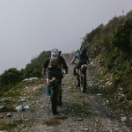
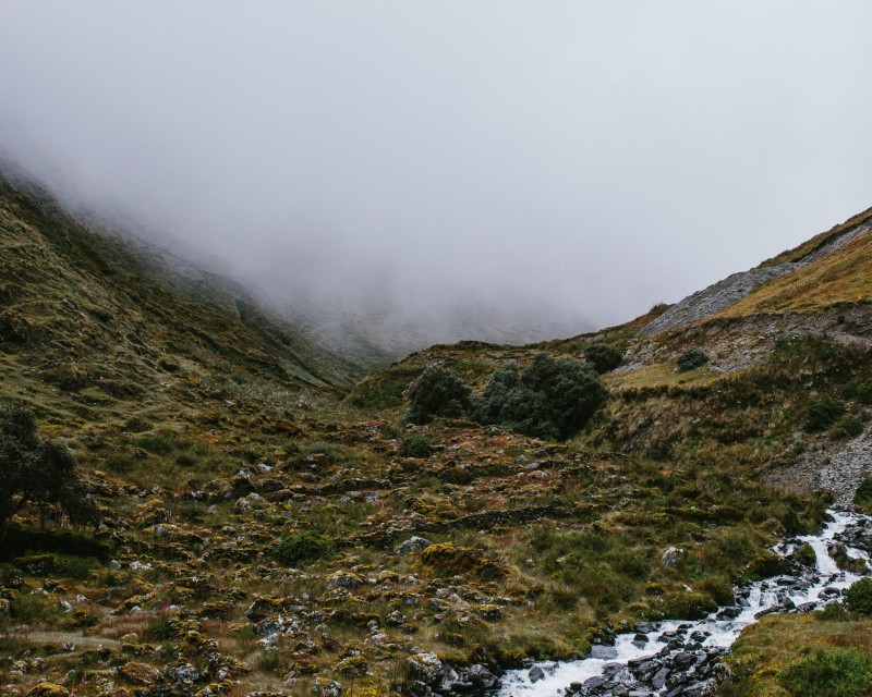
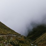
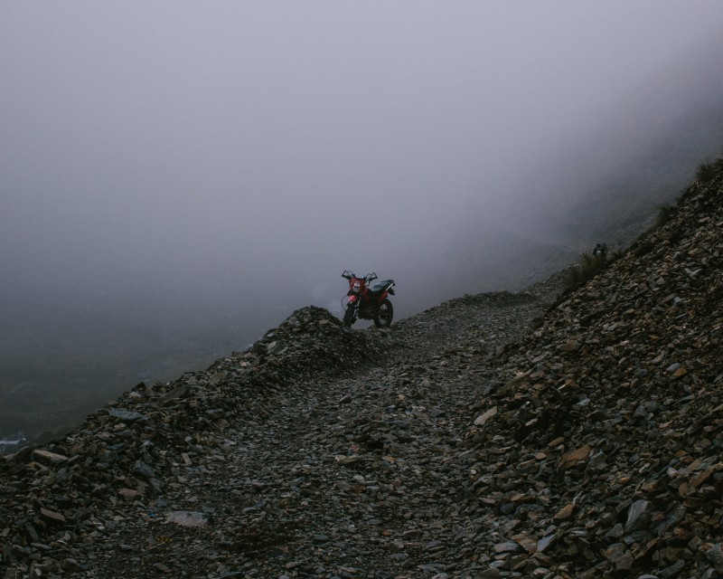
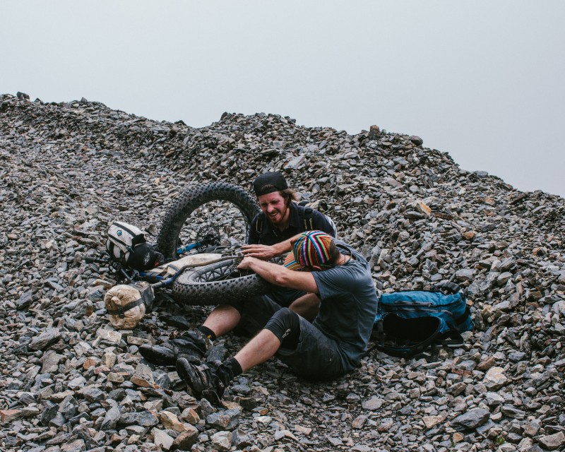
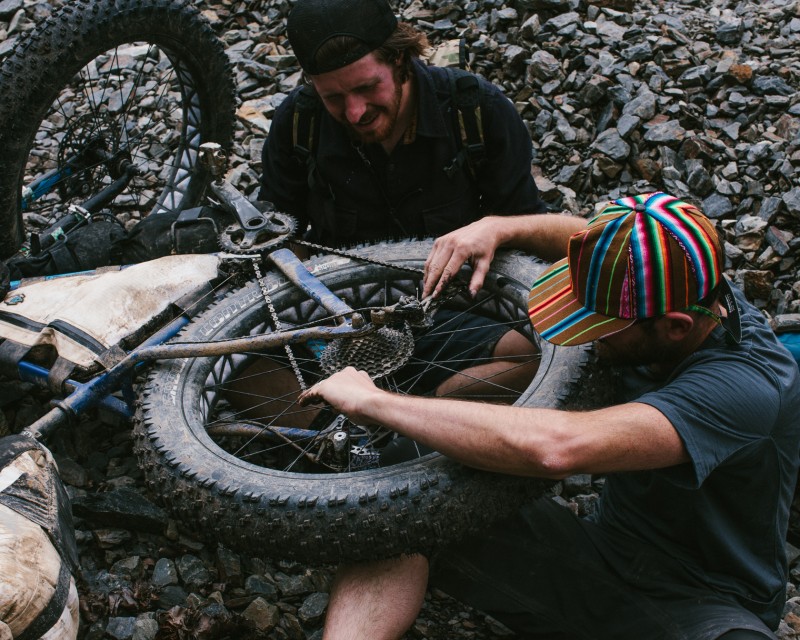
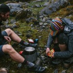
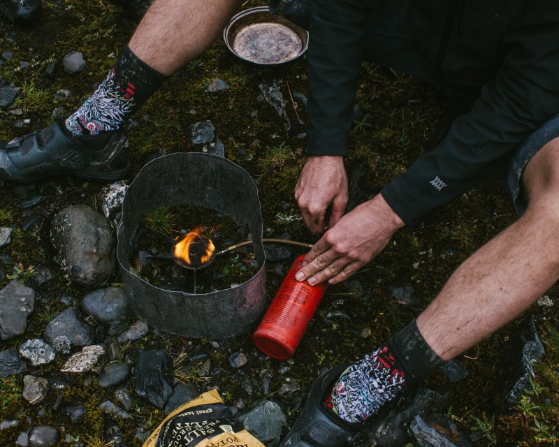
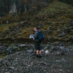
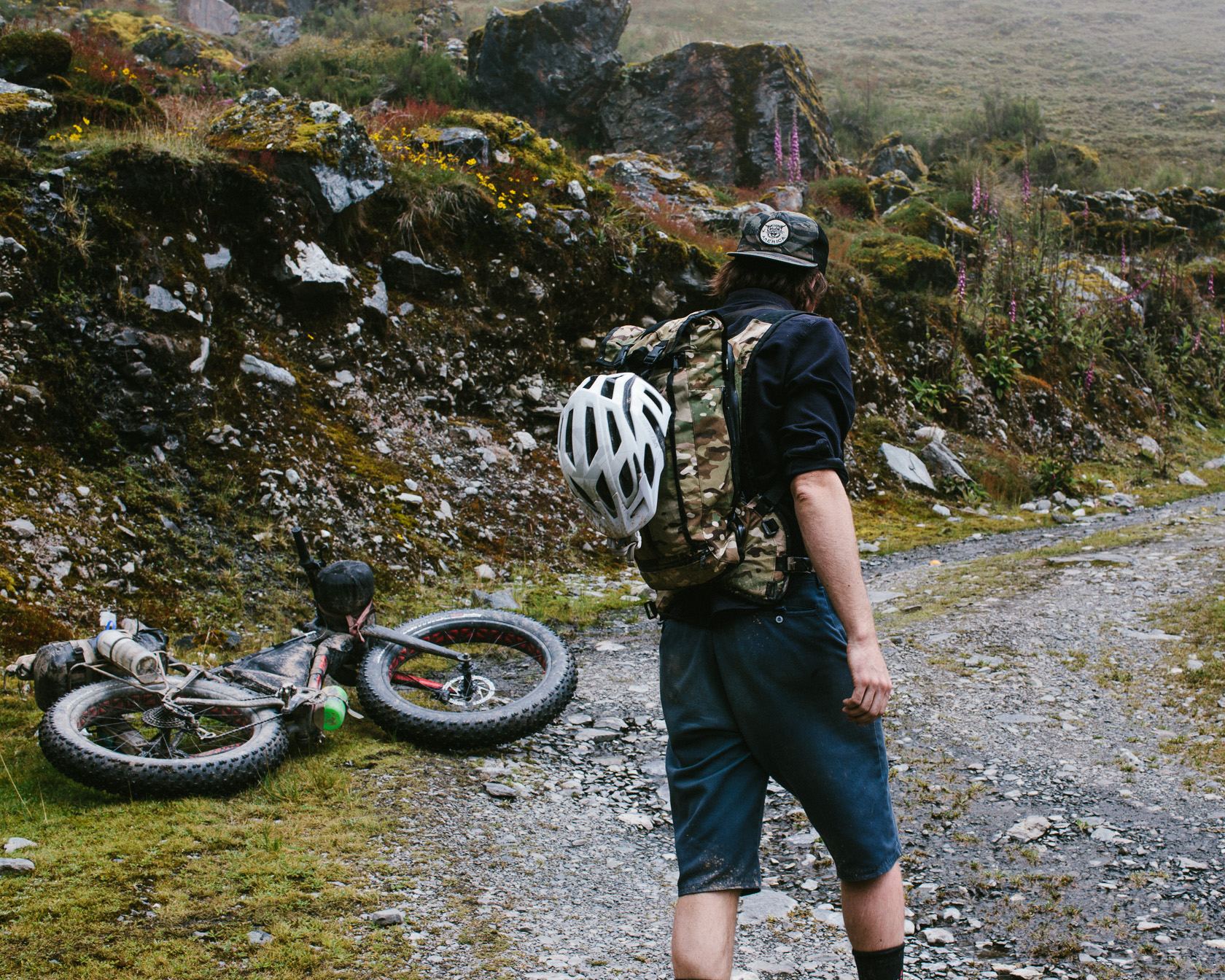
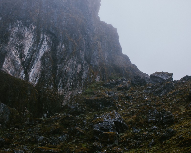
So this is where we found ourselves, at a crossroads, high above Pelechuco. We had spent that previous half day riding, pushing, and panting our way up the side of the mountain. On our map there was one route, one path, and we were not expecting to have to make a decision. But here it was. James and I argued about which path to take, poring over the vague shapes on the map to determine which route would take us over the correct pass and into Hilo Hilo. I say vague because the maps we were using were zoomed-in color photocopies of screenshots from Google Earth and the original images were of such a low resolution that staring at them felt like you were looking through goggles smudged with grease. Specifics were not forthcoming, details were scarce. We would need to rely on circumstantial evidence, living up to our project’s namesake, we would need to do some Dead Reckoning. What we knew: the road going to the left was steeper and appeared older with washout and rock fall covering its path, while the road to the right appeared to have been recently constructed or plowed. Yonder Journal’s previous trip experience told us that you take the older, steeper, more damaged road because these trips aren’t supposed to be easy. Up the steep winding switchbacks of the road on the left we went, following what looked to be recently churned tire tracks, past a few hanging valleys, and through a pile of rocks shaped like a wall that lined the saddle of what appeared to be a pass. We rejoiced, had a snack, used the restroom, and then followed the trail down the backside. We are on a new road, we are flying, and boy do these Fatboys get moving when you head down hill.
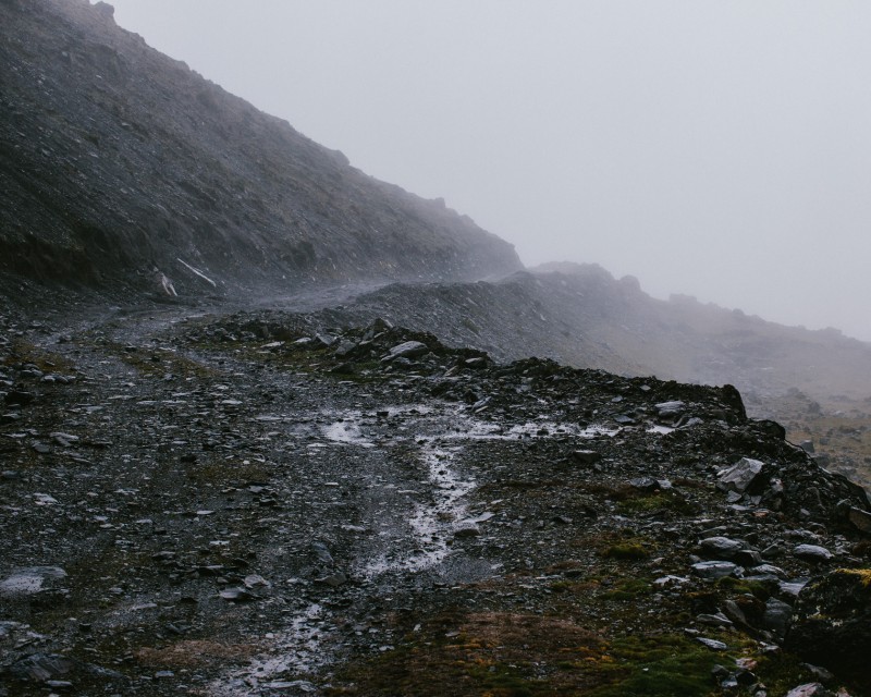
We smash switchback after switchback, quickly losing altitude, then suddenly, it stops. The road ends.”- KVH;
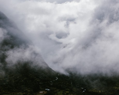
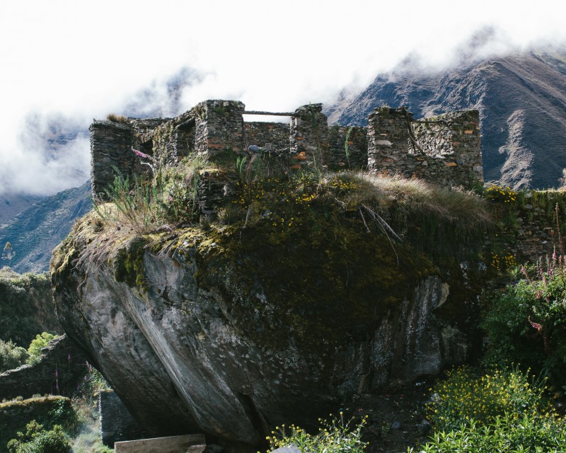
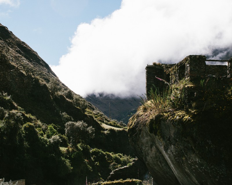
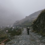
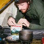
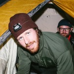
There are three men and a rugged SUV in front of us. We have been descending for 15 minutes. It is drizzling, and the man closest to use is wearing sandals while he rolls one basketball sized boulder after another off the road. He stares at us for a moment, giving us a wide, tooth-poor smile before getting back to work. From behind him steps a man wearing track suit pants and a few thin gold chains around his neck; he is obviously the foreman. We ask him in our awful broken Spanish, “Is this is the road to Hilo Hilo?” “No,” he says, “this road turns into a trail that dead ends another mile down the hill.” He is annoyed by our presence, we are annoyed by our presence. We ask him if he is sure. He doesn’t answer, but gives us a looks that says, “I don’t give a shit what you think, I just don’t want you around me.” His vehicle is stuck. It is getting late. The situation is miserable. We turn around. That 15 minutes of blissful descending takes us three hours to climb and by the time we reach the crossroads it is twilight and the drizzle has turned to a downpour. We have two options: ride all the way back down the hill to Pelechuco, losing all of our day’s work and risking a detrimental blow to our overall trip motivation or bivouac here on the mountain, saving the work we put in on the climb but facing another night of sleeplessness at elevation. We settle for the latter and strike camp in the indigo blue light of the coming night.
SECTION No2
Pelechuco 11,787 ft.
SECTION No3
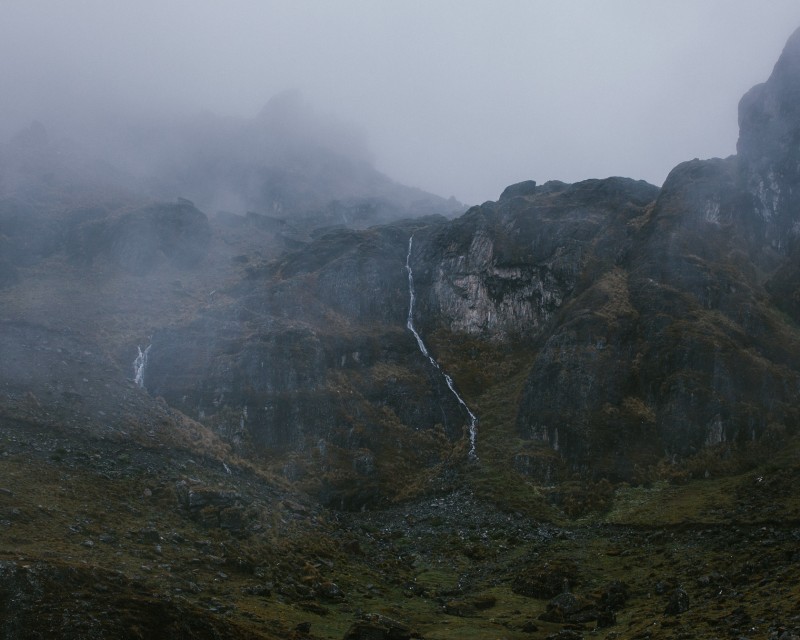
Climbing to Pelechuco Pass 15,000 ft. +
SECTION No4
Hot Lunch 13,665 ft.
SECTION No5
Wrong Turn 14,256 ft.
SECTION No6
Mountainside Bivouac #1 14,314 ft.
DILLON MAXWELL EARNED A BA IN HISTORY FROM COLORADO STATE UNIVERSITY. HE WROTE HIS THESIS ON THE SPANISH CIVIL WAR'S EFFECTS ON THE CUBAN REVOLUTION AND DID HISTORICAL FIELDWORK IN SOUTHERN COLORADO FOCUSING ON FAMED AMERICAN EXPLORER ZEBULON PIKE AND THE ENVIRONMENT PIKE ENCOUNTERED IN HIS TRAVELS. DILLON LIVES IN FORT COLLINS, COLORADO WHERE HE SPENDS HIS TIME RIDING BIKES, CAMPING, RIFFIN', AND PLAYING DRUMS. Brief Histories: Pishtaco - by Dillon Maxwell
Every culture contains a folk villain. An antagonist, an entity of evil, something to fear, some kind of Boogeyman to keep people up at night. In the Andes, a demon-like figured dubbed Pishtaco is that Boogeyman. The name of Pishtaco comes from a Quechua word, pishtay, which means to cut into pieces. Pishtaco is a pale, foreign figure who roams the Andes searching for victims to brutally torture, mutilate, and suck the fat from their corpse.
Pishtaco’s identity may have shifted over the time, but Pishtaco has always maintained a goal of mutilating and sucking the fat from his victims. The entity has become a reflection of colonizers and westerners by the indigenous peoples in the region. During the Colonization of Latin America, conquistadors and missionaries were seen as Pishtacos or as agents of Pishtaco. Word began to spread about how the Spanish Pishtacos would kill the indigenous peoples and use their fat to make candles for the churches, to heal wounds of conquistadors, and to shine armor. In more recent times, Pishtaco began to take on a new identity with the arrival of NGO’s, mining corporations, and outsiders visiting the region. Some saw the workers of corporations as Pishtacos. They were going to kill and take the fat of the victims to help run mining machines and airplanes. Others saw people working with NGOs, the anthropologists, geologists as agents of Pishtaco. The work they were doing when studying people, places, and cultures was really just a cover up in order to spy for Pishtaco so he could know where the most fat was. There are even accounts of workers being attacked by locals in hopes of driving the monster away from the region.