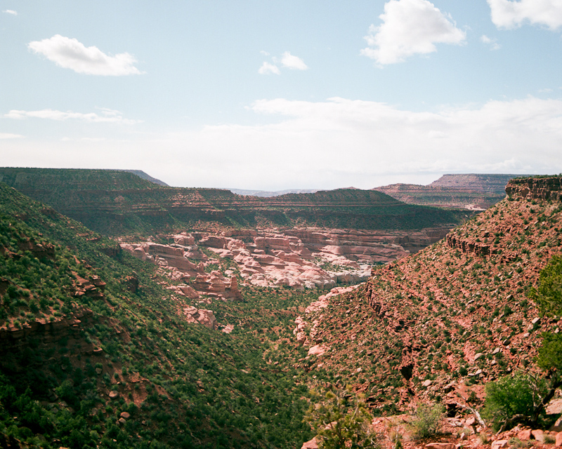
Words and photograph by Daniel Wakefield Pasley.
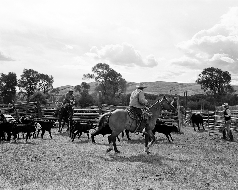
Netgunning is a popular form of Live Animal Capture (LAC) employed by Wildlife Population Biologists and Researchers who work with and/or study large ungulates like deer, caribou et al. which animals are unwieldy, highly mobile and otherwise extremely difficult to safely capture and release. LAC is the only way to Radio Collar large ungulates. Radio collars provide invaluable/crucial/useful/necessary data. And the process provides a precious opportunity to take measurements and gather samples.
Netgunning looks and feels a lot like a Cowboy Rodeo X Navy Seal Operation X Field Laboratory mash-up - from dozens of matching green pick-up trucks to helicopters, pilots, gunners, muggers, tooth pullings and sonogram machines. What follows is the first in a series of briefs outlining the checklist and procedure researchers use when examining a recently-captured Wyoming Mule Deer Sample.
1. CAPTURE DATA & TEMPERATURE CONSIDERATIONS
As soon as an animal is brought in from the ship to the staging area, capture data needs to be communicated by the Capture Crew to the Processing Crew - what happened during the capture, were there any unusual circumstances, GPS coordinates referencing where the animal was captured, notes regarding wether the animal had any possible problems or issues. Immediately afterward the animal's temperature is taken. Ideally the animal's temperature is close to 100 or 101, which is normal and good. However if the animals temperature approaches 103 the Processing Crew will begin to closely monitor the animal. If the animal is unable to regulate it's body temperature and it rises above 103, the processing crew will begin to shovel/place snow along the animal's abdomen as well as wet the animal down with water in effort to cool it.
"We don’t use tranquilizers because in real world situations the stress from the drug and reversing the drug is much worse than simply handling and subduing them without drugs. In particular, when an animal is anesthetized it can have a lot of difficultly regulating its body temp, and if it overheats you could very easily kill it." – Jeff Short, Wyoming Wildlife Population Biologist