Brief No. 029
Archaeologizing, Pt. I
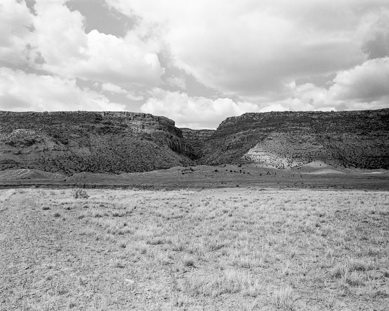
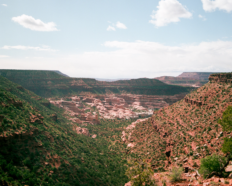
Photograph by Daniel Wakefield Pasley.
From: William Gardner
Date: Wednesday, August 14, 2013
Subject: Archaeologizing
To: daniel wakefield pasley <[email protected]>
Hello Daniel
I hope all is well. Things are moving along nicely in regards to the Paradox project as we have gotten pretty firm dates from our South African colleagues as well as money - so baring any personal injury we are pretty much 100% a go.
As it stands right now we are all looking to arrive in Denver on Friday November 1, rest there (maybe) at my uncle's and/or grandparent's house for the day (mainly to let our foreigners battle through jet lag). Strike out for paradox early Saturday - begin work in honest on Sunday Nov. 3rd and work until the next Sunday (the 10th) at which point we head back to Denver and catch a flight to our respective destinations on Monday the 11th (the goal is to get 7 days of work in). Main research goals are to 1) survey / test a topography contingent survey methodology that is aimed at better understanding how people and archaeologist move across a landscape with extreme topography 2) map in a small village site that Xander (our South African colleague) may want to excavate in the coming years 3) excavate a small test unit in order to collect material that can be c-14 dated from a site my dad found.
Tentatively speaking, the crew will consist of my father (an archaeologist at a small community college in Wyoming), Andrew Blandshard who is a kiwi archaeologist for the New Zealand Department of Conservation, Andrew Antonites who is a South African archaeologist and professor at the University of Pretoria, my wife, my Mongolian colleague Jargalan Burentogtokh, you (and whom ever you wish to bring), and me.
With that being said, if this works out for you, how will you be traveling to the project area? If you wish to fly into Denver and meet up with us there we can make arrangements to have space for you in our caravan out to Paradox. Also how many people will be accompanying you? We don't care but we do want to make sure we have enough food for you all. Oh yeah, food in the field camp is on us - well as long as you don't have any crazy expensive diet restrictions (if that's the case your on our won - sorry).
Also we do hope to mountain bike a bit while we are there. Most of us are out of shape, but it's definitely worth bringing a bike if you can.
Super pumped to have you guys come along on this.
Take it easy,
Will